Muntiacus reevesi
Distribution of occurrence points
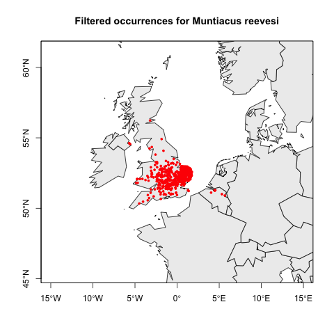
The following map shows the distribution of the filtered occurrences for Muntiacus reevesi used in the Maxent model.
Variable importance
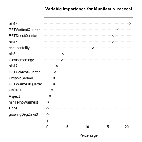
The variable importance graph shows the relative importance of the abiotic raster layers in the model
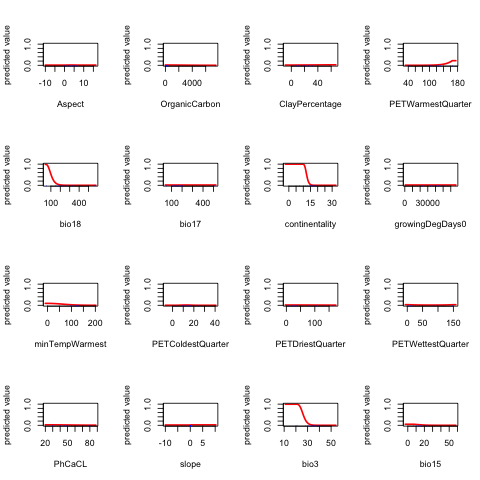
Response curves
The response curve graphs show the modeled response of Muntiacus reevesi to the selected abiotic raster layers.
Model predictions
To be able to compute the potential distribution overlap, worldwide, between all pairs of species, a model prediction is available. However, for prediction maps that take into account large-scale biogeographic barriers to dispersal, we use a restricted prediction that limits the projection to the zoogeographical realm(s) in which the raw occurrences are located. The maps below are based on this restricted projection.
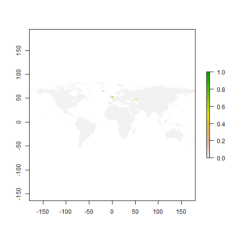
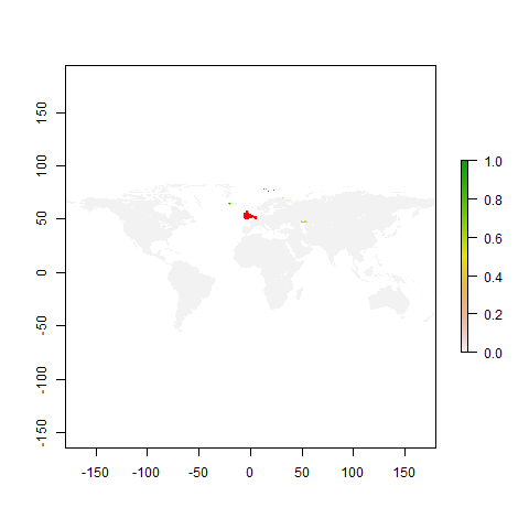
The first map shows the predicted suitable areas on earth based on the niche preferences for Muntiacus reevesi calculated in the Maxent model. The second map shows the suitable area map with the original occurrence points superimposed.
